A Brief History of Arthur
The former Village of Arthur was named after Arthur Wellesley, who became the Duke of Wellington. The Village of Arthur was first surveyed in 1841 by John McDonald and then officially in 1846 by D.B. Papineau. The establishment of saw and gristmills sparked growth in the community. In 1851, a post office was opened and the first church and school were organized. Development was further encouraged in 1872 when a station of the Toronto, Grey and Bruce Railway was opened.
Canada's
|
Canada's Most Patriotic Village The Village of Arthur received this recognition in 2002, when David Tilson the M.P.P for Dufferin-Peel-Wellington-Grey stated in the Ontario Legislature that because of Arthur's extraordinary effort in World War II the community would be recognized as "Canada's Most Patriotic Village".
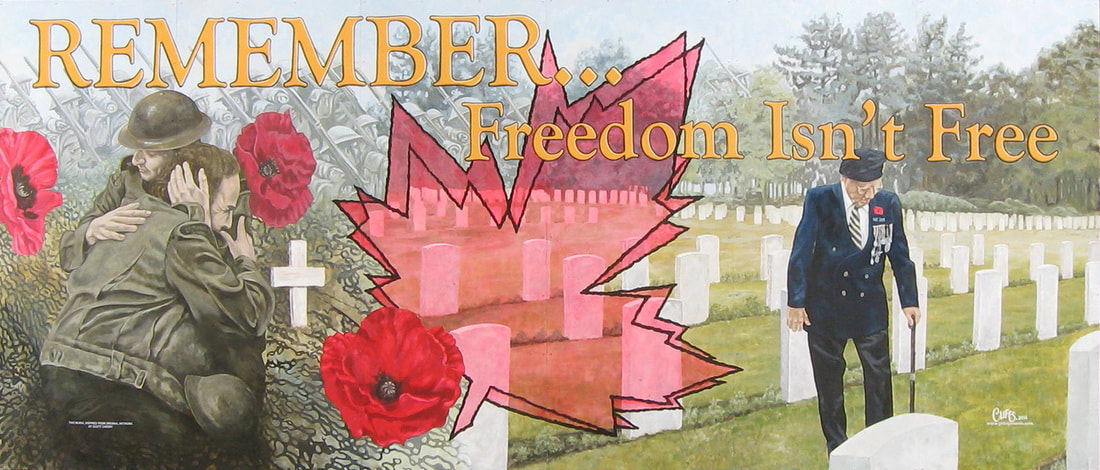
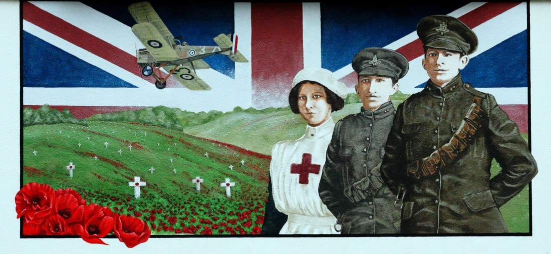
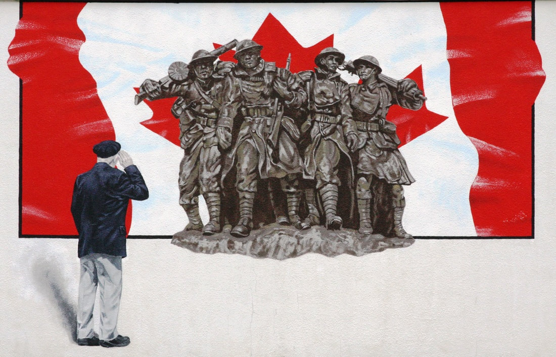
Achievements that garnered Arthur this title include that during World War II the government ran War Bond and Victory Bond campaigns to raise money to carry on the war effort. In the first campaign in 1940, Arthur Village led all communities in Canada in reaching its objective. In every following campaign (6 in all) the Village let all communities in the country in reaching its objective. As well, during the war, a Navy League was formed in most Canadian communities, to raise funds for Canadian Sailors at sea. In September, 1944, Arthur Council received an award for having raised the most per capita of any community in Ontario. A series of murals are featured in the downtown core in keeping with Arthur's war history. |
Click To Enlarge Images Above
Pioneer Mural
|
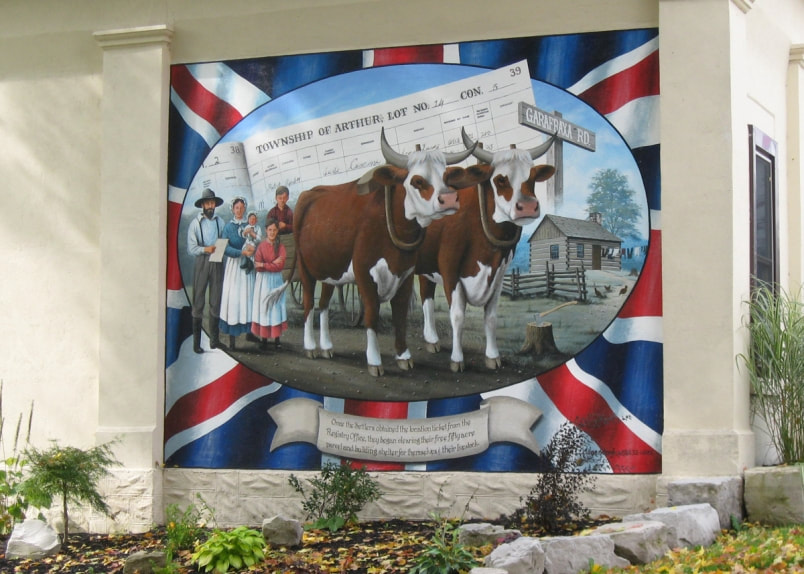
This was the first of several murals commissioned by the Arthur Mural Committee and was designed and painted by the late artist Allen C.Hilgendorf in 2010.
|
The Pioneer Mural in Arthur is painted on the south wall of the Hunter Tax Management Office at the southern entrance to the village. The location of this mural is symbolic as this office building is the former County Registry Office and the mural depicts the arrival of early European settlers in the area.
The mural itself depicts an early settler departing from the Registry Office with family and his yoke of oxen. The settler has in his hands his ‘location papers’ which entitles him to a free 50 acre plot of land in Arthur Township. To reach his property he would have travelled north on the Garafraxa Road, what is now highway 6. |
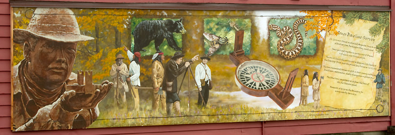
Jones Baseline Survey Mural
This large mural shows the challenges Augustus Jones and his survey party of first Nations people faced as they pushed north from Burlington reaching the banks of the Conestoga River, near present-day village of Arthur, October 17, 1792. The baseline is important, as it illustrates the signing of the agreement which established the northern border of the Six Nations land grant. As well, the Baseline forms the boundary for many nearby townships.
This early survey is still used in defining boundaries of many townships and Native land claims.
This early survey is still used in defining boundaries of many townships and Native land claims.

